April 9, 2024
Insurance Companies Reportedly Using Drones To Deny Insurance Claims
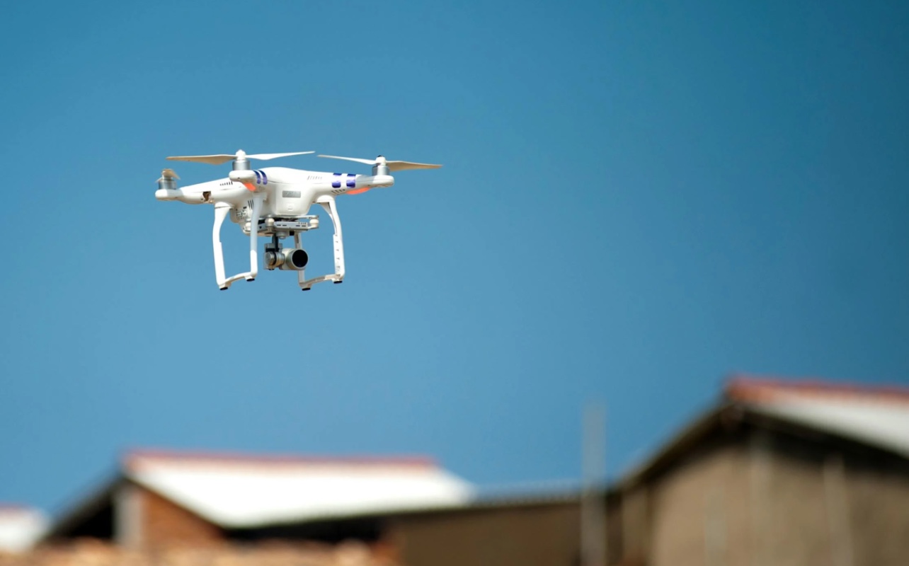
Insurance companies are increasingly pulling images from a network of drones, planes, and high-altitude balloons which cover a majority of the United States in order to review and deny homeowners coverage for policyholders.
A new report from The Wall Street Journal revealed that some insurance companies have been using footage captured by drones to deny homeowners insurance coverage. Some homeowners say that the images used to justify the cancellation of their coverage are inaccurate.
Cindy Pecos, a California resident, told Business Insider that although she conducted an independent investigation that refuted the company’s cancellation, her insurer still dropped her based on the images they had on file.
Despite the inaccuracy of the images captured by the drones, including outdated images, insurance companies are increasingly pulling from a network of drones, planes, and high-altitude balloons that cover a majority of the United States. The companies then use the images captured from these sources to review and deny homeowners coverage for policyholders.
In 2023, CJ Sveen told ABC 7 that his insurance company informed him that he had lost his insurance based on aerial photos that depicted hazards in his yard. Similar to Pecos, he was denied access to photos of his property. After receiving a letter informing him that his insurer was canceling his policy because there was “debris, hazardous conditions, tires or a dilapidated car” on his property, he gave them a call because no one had come to his home to physically inspect it.
“And they said, ‘Oh, we sent over a drone.’” Sven recalled. “And, like, they have a drone that they sent over my property. Just flew into my yard. So, very shocked, yeah. I guess the old-school way would be to knock on your door; I guess they don’t do that anymore, they send a drone.”
California State Automobile Association (CSAA) Insurance Group told ABC 7 that they don’t have a drone, but they rely on “proprietary aerial imagery” and said those images may be captured by “fixed-wing airplane or satellite.”
They also informed the outlet that people can use services like Google Earth 3D if they want to get an idea of what insurance companies are looking at in order to make their decisions on homeowner policies.
According to an investigation by WHEC, Rhett VanScoter, an insurance agent who runs VanScoter Insurance Agency, said that insurance companies are using the images to avoid any risk of having to pay out claims. As a result, they are purchasing the aerial images captured by third parties.
VanScoter also informed the outlet that he believes the insurance companies who use the images are justified, even though homeowners are not notified of any review of their policies until they receive a letter of denial from an insurer.
“I think it is (justified). The insurance companies, unfortunately, they have lost money on homeowner’s insurance for five of the past six years. So they have to do whatever they can to get back to profitability.”
RELATED CONTENT: Police: Atlanta HOA Didn’t Pay Insurance Money to 18 Families Displaced by Fire